New Zealand – METAR Map – A3 size
$450.00
Available on back-order
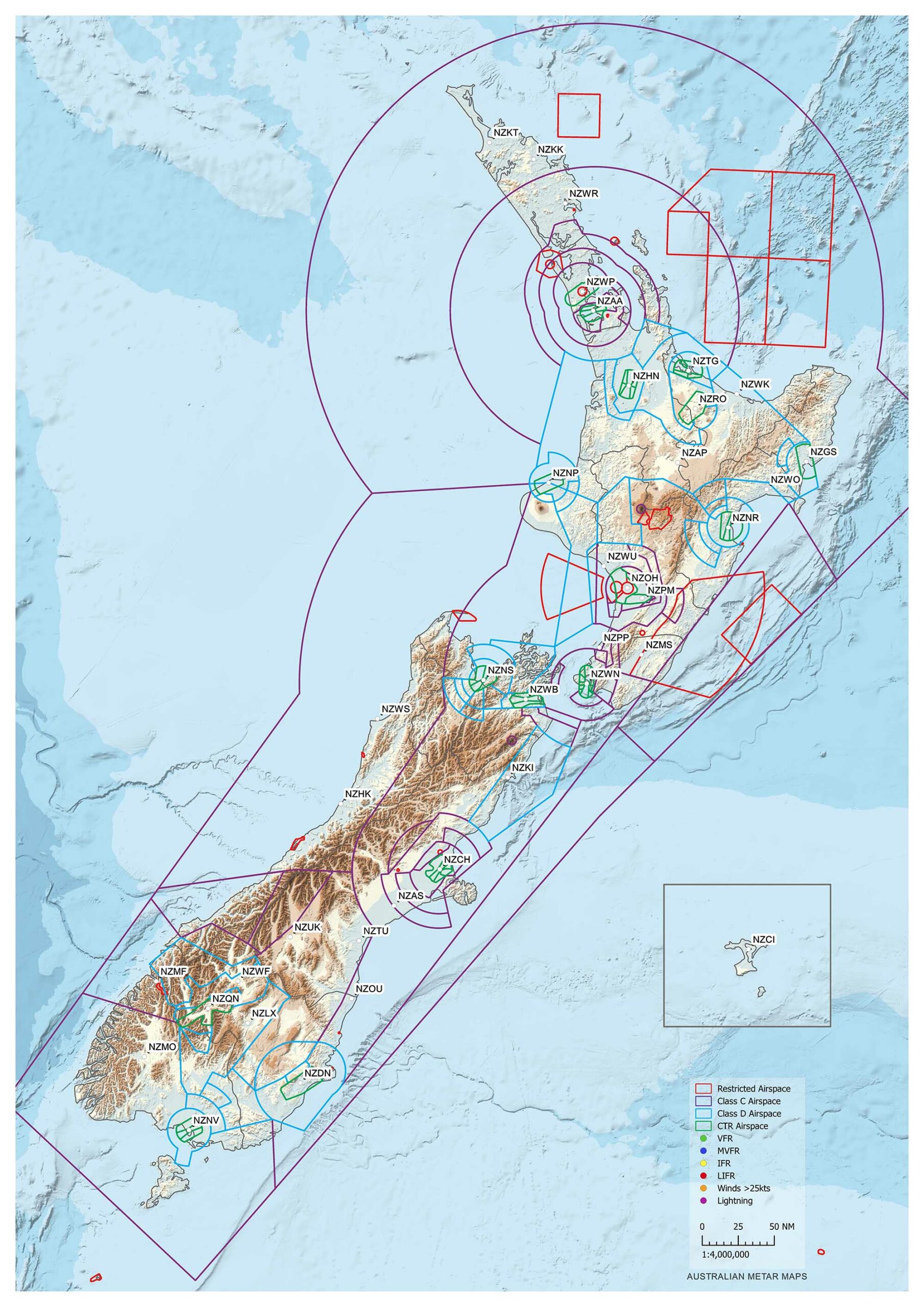
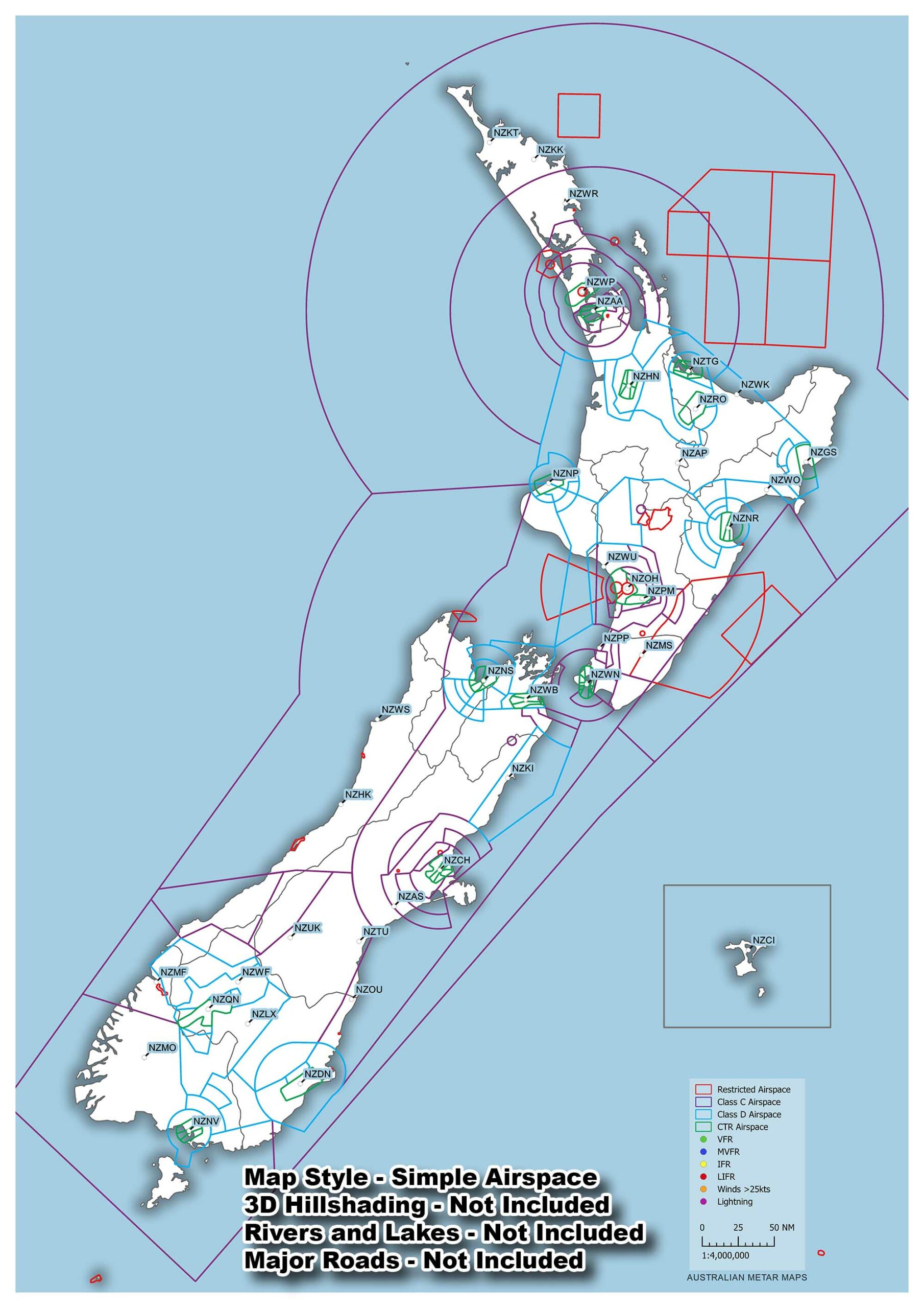
This map is A3 size (297mm x 420mm).
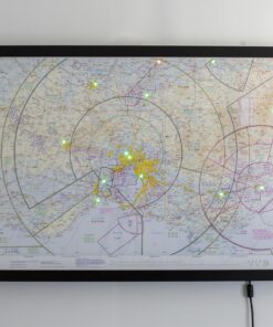
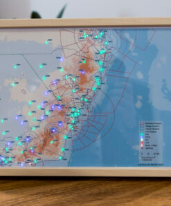
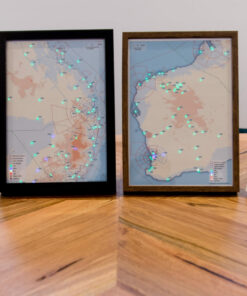
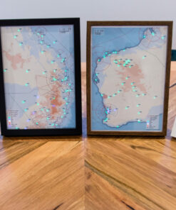
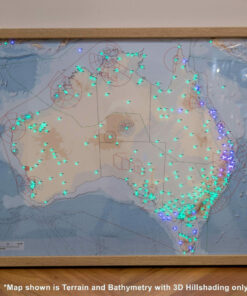
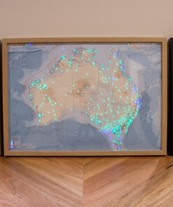
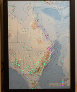
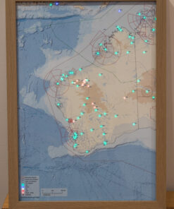
Each LED represents a METAR from an airport around New Zealand.
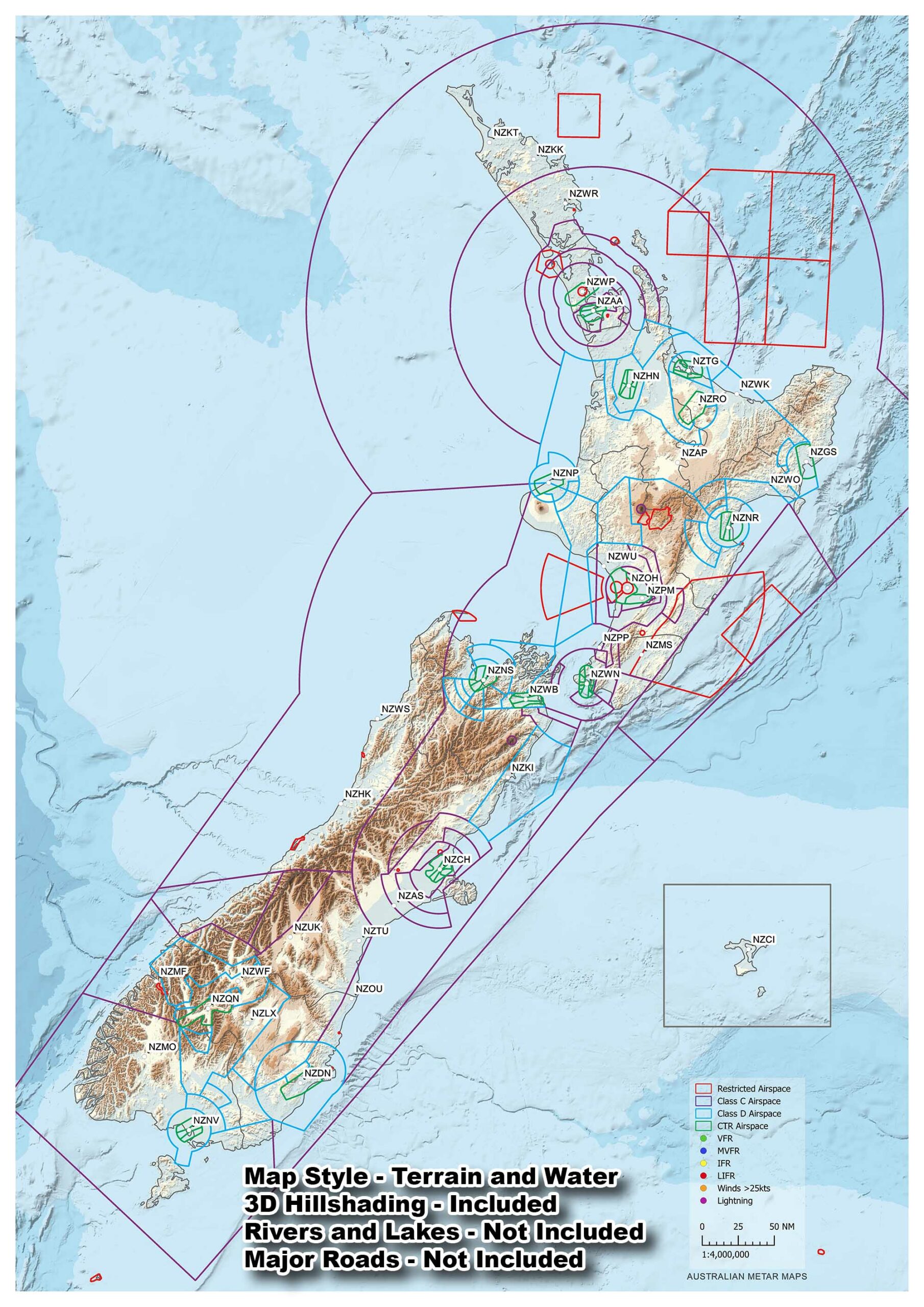
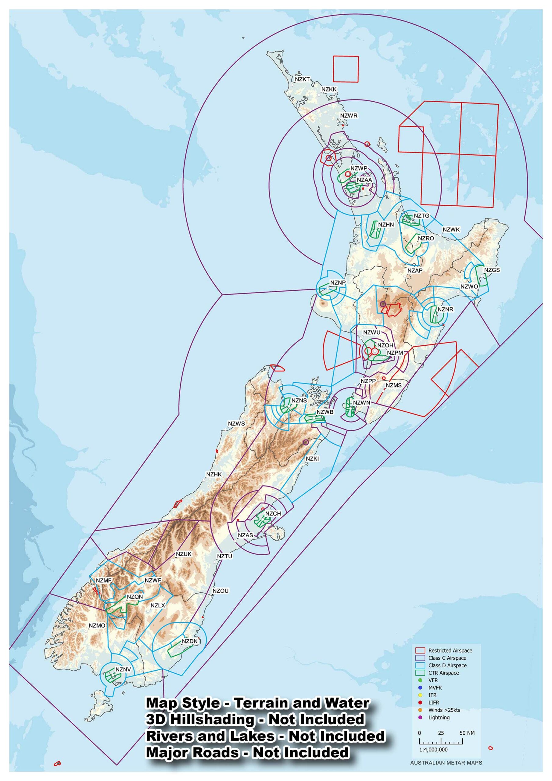
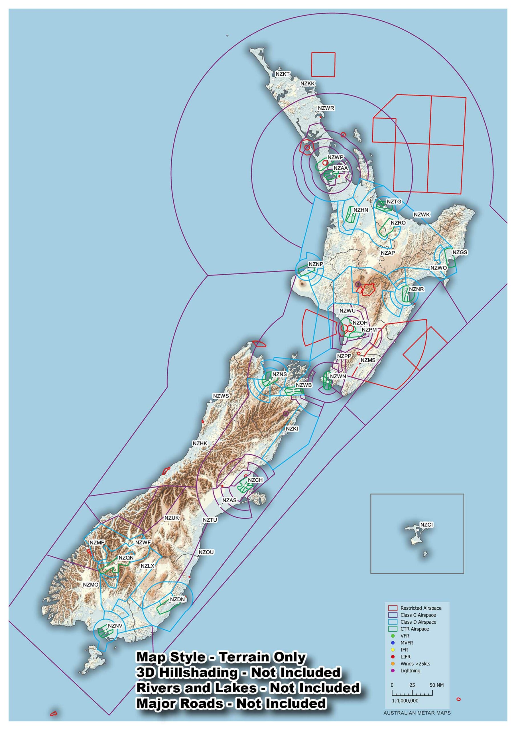
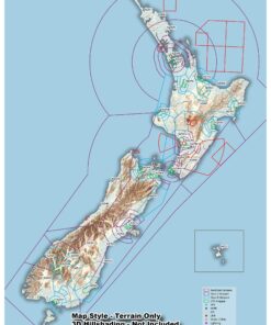
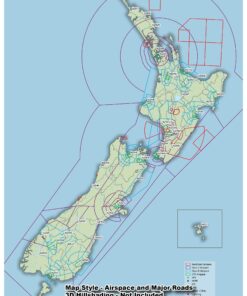
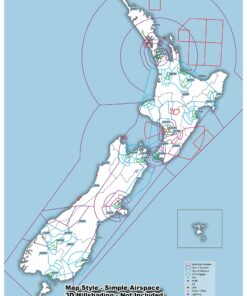
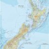
There are 4 standard map styles to choose from:
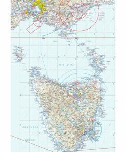
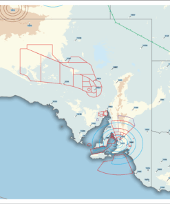
Terrain Only: Terrain data is shown in the same colour scheme as the Australian VNC hypsometric tint with a shadow border around the landmasses.
Terrain and Bathymetry: This style is the same as the Terrain Only style but adds Bathymetric data to show underwater ocean depths.
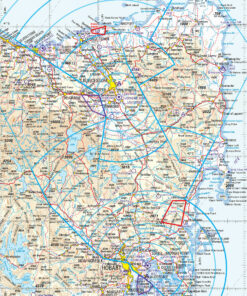
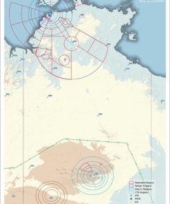
Simple Airspace: Keep it simple with just the airspace of the region.
Airspace and Major roads: Add a little detail to the Simple Airspace design with the major roads of the region. For those IFR folks (I Follow Roads)
You can add a 3D look to the terrain styles too
If you want something in between I’m always happy to make a custom map for you as well.
These maps use data from the Shuttle Radar Topography Mission (SRTM) and General Bathymetric Chart of the Oceans (GEBCO).
SRTM data is at a resolution of 1 arcsec which equates to around 30m per pixel and GEBCO is at a resolution of 15 arcsec which is about 450m per pixel.
An LED light legend is also included by default but can be removed if requested.
🟢 >8km or >3000ft ceiling
🔵 >5km or >1000ft ceiling
🟡 >1.6km or >500ft ceiling
🔴 <1.6km or <500ft ceiling
When flashing
🟠 Winds/Gusts <25kts
🟣 Lightning in vicinity
As each METAR map is custom made to order, there are many options available including colour scheme changes. Just ask and I will endeavour to make whatever you want happen usually and no extra cost.
| Weight | 2.3 kg |
|---|---|
| Dimensions | 56 × 36 × 7 cm |
Only logged in customers who have purchased this product may leave a review.
Australian METAR Maps are run by a Raspberry Pi which is a single board computer (essentially a mini PC) with wifi.
The Raspberry Pi runs a program that connects to the internet via wifi and downloads all the METARs for Australia.
It then reads all the METARs and assigns each of them a category out of VFR, MVFR, IFR or LIFR.
Once the airport has a category the program will now know what colours the connected LED string should show for each of the lights.
The result is a map of Australia with all the METARs being shown in an easy to understand colour, in real time.
I have many styles available for each map.
I have created a guide for choosing a style that suits you here.
Before shipping your map to you I will ask you for your WIFI network name and password so I can configure it for you.
When the map arrives it will work right out of the box.
If you move or make a change to your WIFI network you can always update your map to the new WIFI.
I can help you do it or you can follow this handy guide I created How to change the Wifi network
If you have an older version of software running on your METAR map you can update it to the latest by following my tutorial here
This tutorial will also add auto-updates so whenever I improve or fix a bug in the code you will get the update the next time you reboot the Raspberry Pi computer running your map
You can make a few changes to your maps settings if you want by following this guide.
Here is the list of changes you can make:
- Brightness of the LEDs
- Colours of the LEDs
- Lightning being displayed
- How long the lightning will be displayed
- How often the map will refresh the METARs
- Whether to fade the METAR changes or not
- Whether you want Unknown METARs to show something or not
- High winds being displayed
- Wind speed to trigger the high winds
- How long the high winds will be displayed
- The sources that the map will look to for METARs
Yes!
My website is set up to accept any credit card through Stripe.
Unfortunately there is a 1.6% surcharge due to Stripe fees though.
Yes!
My website is set up for Afterpay as well.
Unfortunately there is a 6% surcharge due to Afterpay fees.
Yes!
My website is set up to accept 10 different cryptocurrencies.
These include:
- Bitcoin
- Ethereum
- Bitcoin Cash
- Dash
- Monero
- Litecoin
- Zcash
- Tether
- Dogecoin (My favourite!)
Unfortunately there is a 0.5% surcharge due to Plisio fees though.
We can ship anywhere in Australia or the world although I would need to get a quote for international shipping once you put your order in if you live outside Australia.
Once the order has been completed I will ship the map via Direct Freight Express, Sendle or Auspost and I will send you a tracking number.
It depends on what you've ordered and where it will be delivered to but here is a list of approximate prices to Metro areas around Australia excluding GST and handling for a full sized map.
All maps are built to order by myself and as I want everyone who purchases a METAR map from me to be 100% happy this means I take my time and make sure everything is perfect for you.
Depending on my workload, both flying and other orders, you could expect your map in 1-2 months but I try and have them completed as soon as possible.
If there are any changes to this timeframe I will let you know and stay in contact to make sure you know I haven't forgotten you.
Mini maps are much quicker and can be sent out a week after the map design is confirmed and sent to the print shop.
The METARs are colour coded into 4 distinct groups and 2 special events:
Green (VFR). Visibility >8km, Cloud >3000ft AGL.
Blue (Marginal VFR). Visibility >5km, Cloud >1000ft AGL.
Yellow (IFR). Visibility >1600m, Cloud >500ft AGL.
Red (Low IFR). Visibility <1600m, Cloud <500ft AGL.
Flashing Orange. Winds or Gusts over 25kts
Flashing Magenta. Thunderstorm/Lightning in area
Different designs have different power draws due to the amount of LED's but I have measured a Full Size Australia Map at 2.7W or 0.54 amps.
This equals around 65Wh per day.
At 0.065kwh per day and $0.25/kwh you can expect to pay $0.01625 a day to run the map.
If you had a 20,000mAh powerbank it would last about 37 hours.
I have measured my maps to use around 12Mb download and 2Mb upload per day
Yes!
Send any ideas you can think of through to me and I will see if I can do it for you.
I love making new maps!
Yes. There are multiple configuration options available. This is what you can have changed for you.
- Brightness can be adjusted
- Thunderstorms can be disabled
- High winds can be disabled
- High winds limit can be changed from 25kts
All maps come with a 2 year warranty.
Any issues after that period please do not hesitate to contact me and I will see if I can help.
I want these maps to last a lifetime for you.
There are multiple styles of frame which you can choose from. All of the frames are at least 50mm deep to hide all the wiring behind the map completely.
- Matte Black
- Matte White
- Glossy Black
- Glossy White
- Natural Oak
Custom frames can be requested also.
Mini maps are standard A4, A3 and A2 size frames. If you have a frame in mind that you've found online let me know and we can work with that.
As these maps are made to order. Cancellations will be on a case by case basis depending on which map you've ordered and how far I am into the process of completing your map.
I don't accept cancellations on custom maps but can transfer the purchase to someone else if you can find someone who will want your order.
Since all maps are built to order, I only accept returns with an RMA for products that are damaged in shipping or are defective. If your map was damaged in shipping or you believe it is defective, please contact me.
Yes!
I really want you to love your map and be proud of it so I am here to help with any issues you have with the maps.
Please contact me for any issues or questions you may have.
Related products
Large Maps
Mini Maps
Large Maps
Mini Maps
Mini Maps
East Coast
East Coast
East Coast


Reviews
There are no reviews yet.