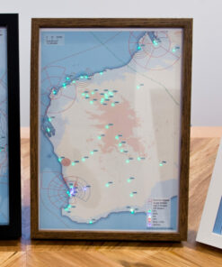
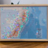
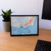
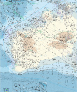
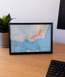
These new mini Western Australian METAR maps fit right on your desk!
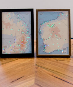
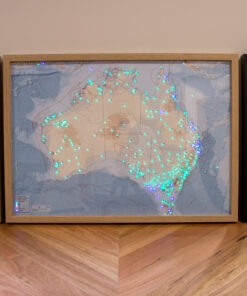
This map is A4 size to keep it nice and compact. This way you can put it almost anywhere you want!
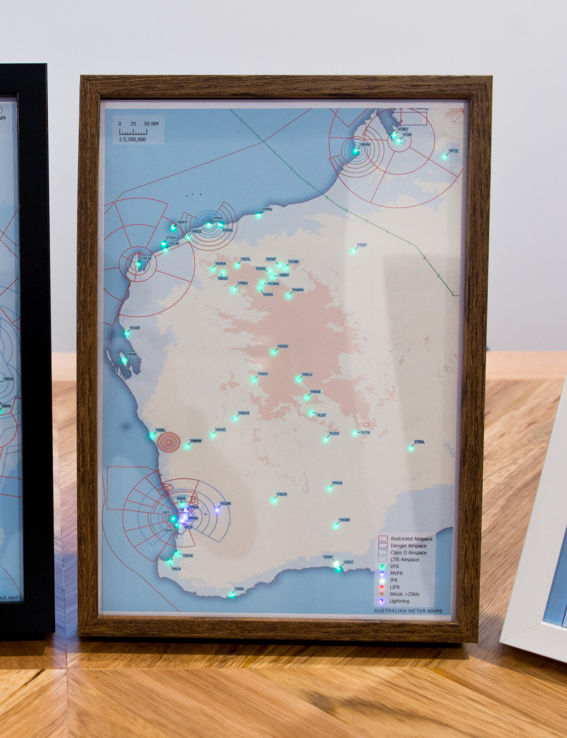
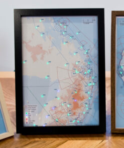
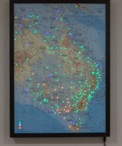
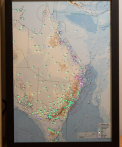
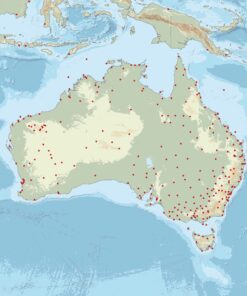
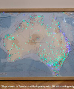
Each LED represents a METAR from an airport around WA and the surrounding region.
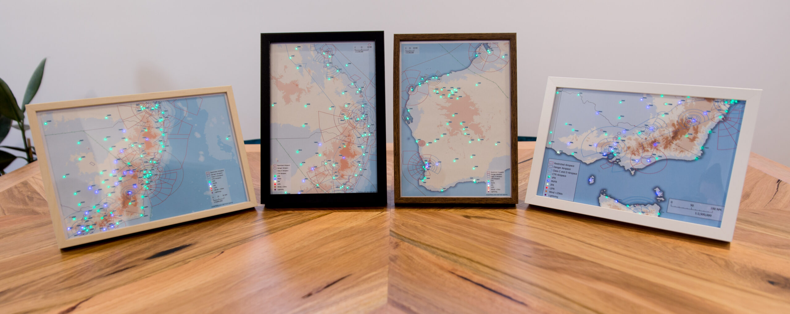
There are 4 map styles to choose from:
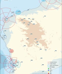
Terrain Only
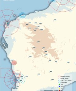
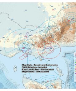
Terrain and Bathymetry
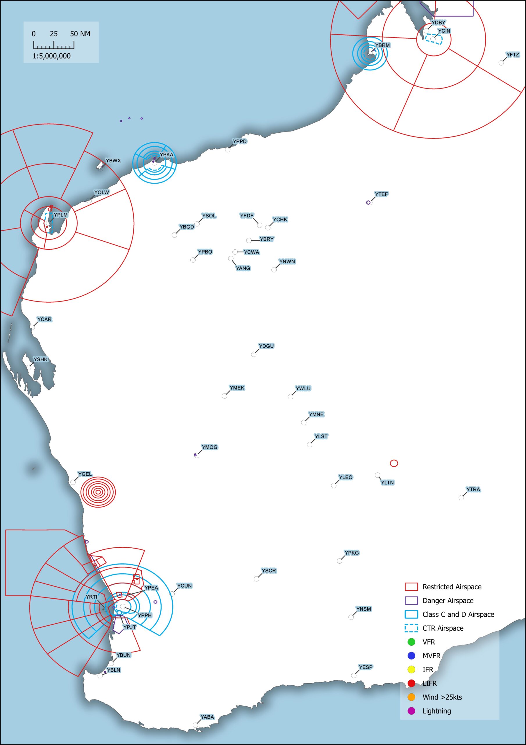
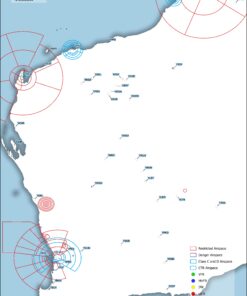
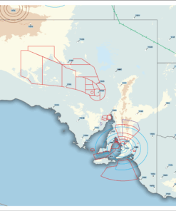
Simple Airspace
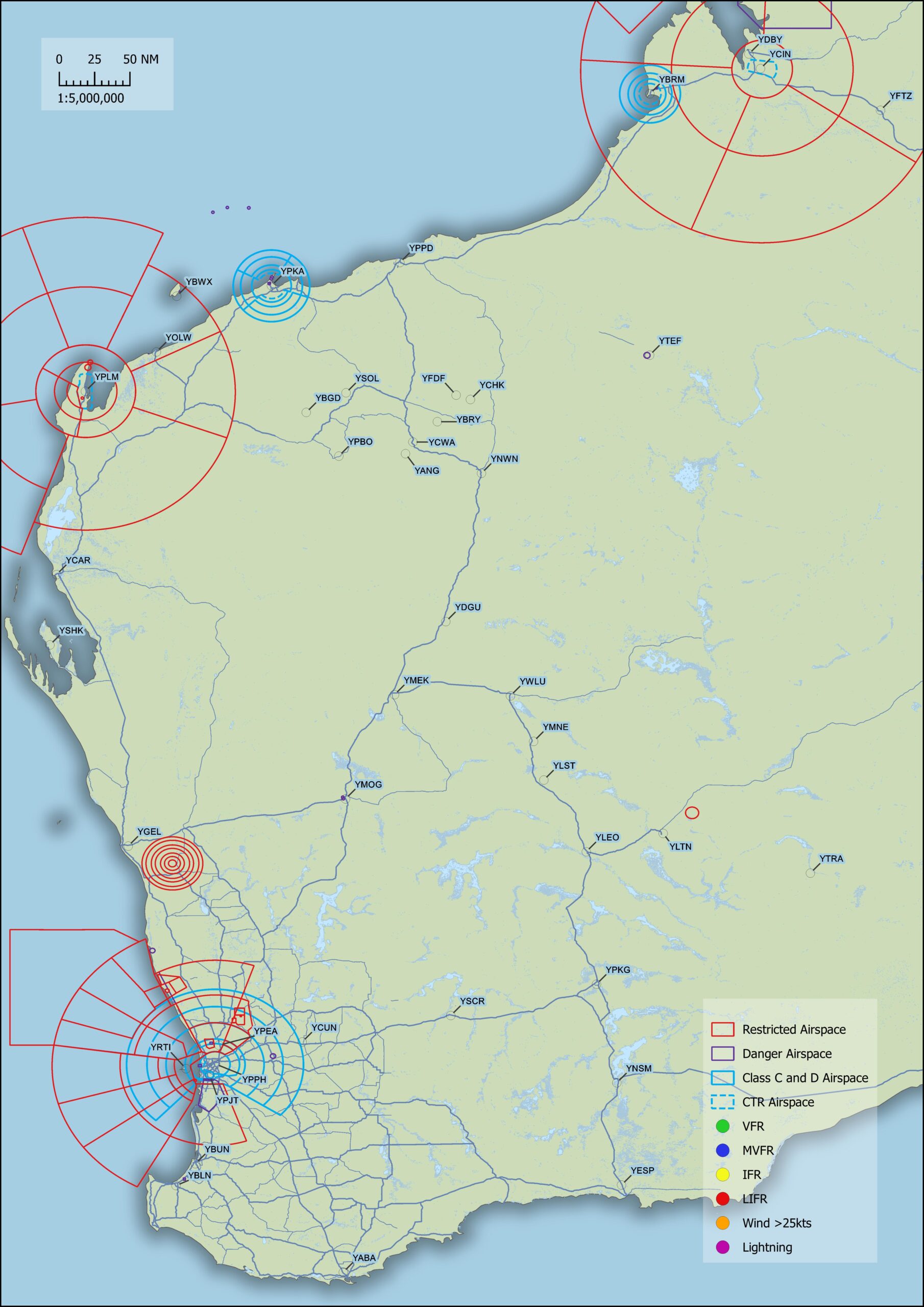
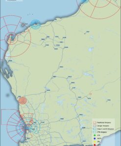
Airspace and Major roads
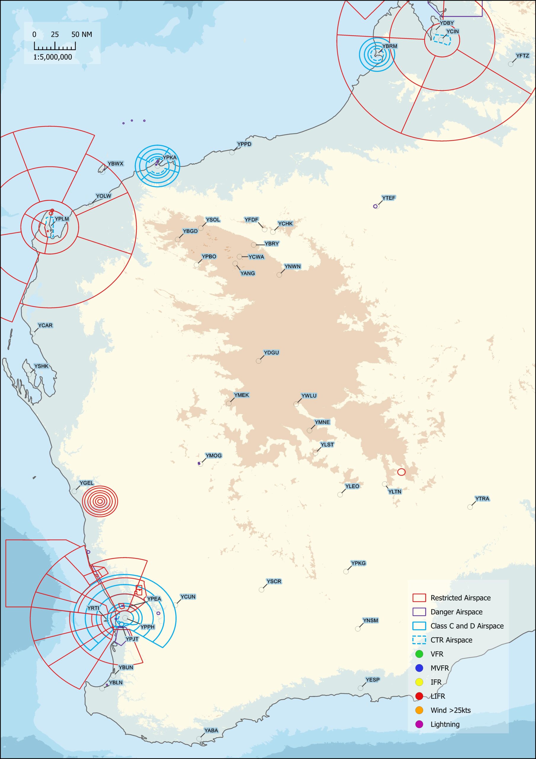
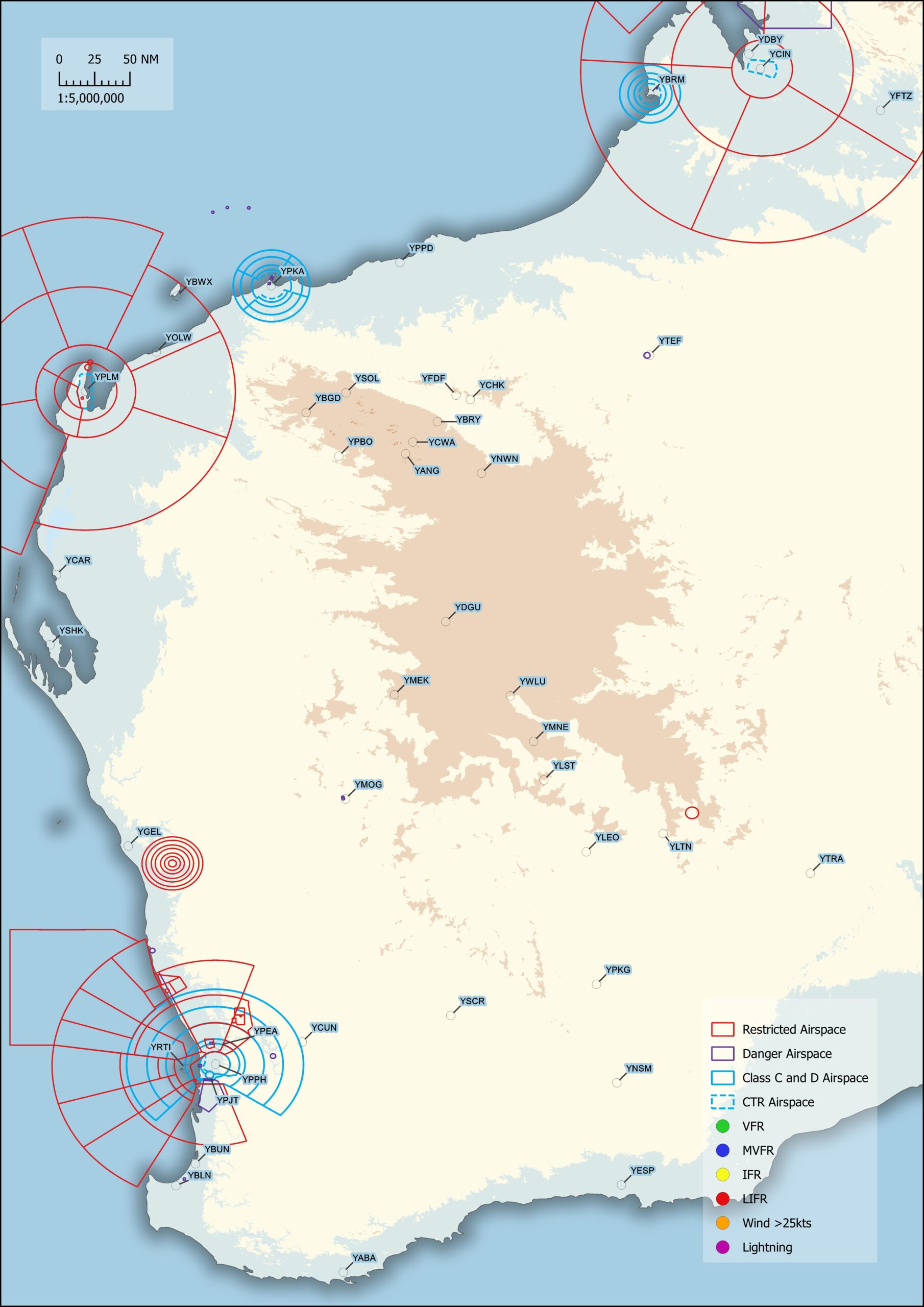
Terrain Only: Terrain data is shown in the same colour scheme as the Australian VNC hypsometric tint with a shadow border around the landmasses.
Terrain and Bathymetry: This style is the same as the Terrain Only style but adds Bathymetric data to show underwater ocean depths.
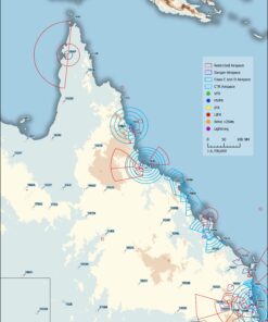
Simple Airspace: Keep it simple with just the airspace of the region.
Airspace and Major roads: Add a little detail to the Simple Airspace design with the major roads of the region. For those IFR folks (I Follow Roads)
If you want something in between I’m always happy to make a custom map for you as well.
These maps use data from the Shuttle Radar Topography Mission (SRTM) and General Bathymetric Chart of the Oceans (GEBCO).
SRTM data is at a resolution of 1 arcsec which equates to around 30m per pixel and GEBCO is at a resolution of 15 arcsec which is about 450m per pixel.
An LED light legend is also included by default but can be removed if requested.
🟢 >8km or >3000ft ceiling
🔵 >5km or >1000ft ceiling
🟡 >1.6km or >500ft ceiling
🔴 <1.6km or <500ft ceiling
When flashing
🟠 Winds/Gusts <25kts
🟣 Lightning in vicinity
As each METAR map of Australia is custom made to order, there are many options available including colour scheme changes. Just ask and I will endeavour to make whatever you want happen.
| Weight | 1.5 kg |
|---|---|
| Dimensions | 41 × 30 × 8 cm |
| Map Style | Terrain Only, Terrain and Bathymetry, Simple Airspace, Airspace and Major Roads, Custom map |
| Frame | Black, Custom Frame, Natural Oak, Walnut, White |
Only logged in customers who have purchased this product may leave a review.
Content missing
Related products
Mini Maps
Mini Maps
Large Maps
East Coast
Large Maps
East Coast
Mini Maps
Mini Maps

Reviews
There are no reviews yet.